

By Linda Welzenbach Fries
When most people picture climate change on the Gulf Coast, they think of hurricanes and heatwaves. They rarely imagine the frozen expanses of Antarctica or Greenland’s icy landscape. For Andrew Hoffman, a new assistant professor in Rice University’s Department of Earth, Environmental and Planetary Sciences (EEPS), the link between polar ice and local coastal flooding is direct, measurable, and central to his research.
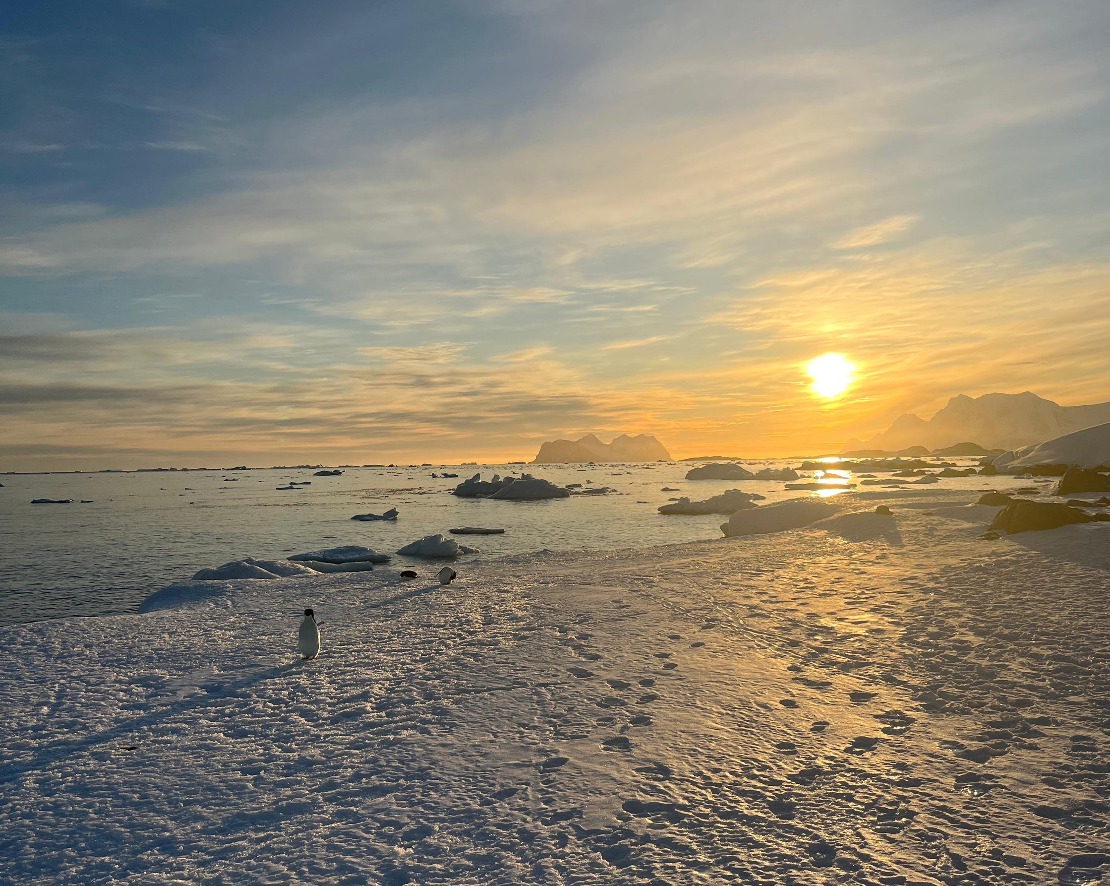
Andrew Hoffman is a radioglaciologist—a specialized geophysicist who uses radio technology to look deep inside Earth’s ancient ice sheets. By combining airborne and ground-based radar surveys, satellite remote sensing, and computational modeling Hoffman investigates how ice masses deform, flow, and melt.
He brings to Rice an ambitious research program that spans from the remote glaciers of the Southern Ocean and the Arctic to the low-lying coastal communities of the Texas Gulf Coast, offering students unique opportunities to study the physical processes shaping our planet's climate future.
What is Radioglaciology?
Hoffman describes radioglaciology as a way of "seeing" through kilometers of solid ice. Radioglaciology has a history spanning over 70 years. "Ice is relatively transparent to microwave radiation," Hoffman explains. When researchers transmit radar signals into an ice sheet, the electromagnetic waves propagate through the ice until they encounter changes in ice layers or reach the bedrock below. "By understanding or measuring the travel time that it takes for that wave to spread through the ice, we can extract detailed physical properties that can reveal the structure and history of the ice sheet".
As the radar waves travel through glaciers, scientists can measure and map the alignment of its microscopic ice crystals. This arrangement is important to understand because ice crystals slide past each other more easily in one specific direction—much like a deck of playing cards. Mapping crystal directions across entire ice sheets allows Hoffman to predict how glaciers might deform and how fast they will flow toward the sea.
Beyond ice crystal structure, radar signals will change when they encounter non-ice material trapped within ice layers, differences in ice temperature or even bounce off the underlying bedrock.
By integrating these radar observations directly into numerical ice sheet models, Hoffman’s research group addresses a central, urgent question for modern earth science: How much, and how fast, will global ice sheets contribute to sea-level rise in the coming century?
From Humanities to Glaciers
Hoffman’s path to becoming a leading geophysical researcher was far from linear. Originally from Washington State, he attended St. Olaf College, a small liberal arts school in Minnesota. As an undergraduate, he ultimately pursued math and physics, but he also had a deep appreciation of the humanities, majoring in English until his junior year.
His entry into glaciology was practical. Seeking a summer opportunity to apply his physics background to earth sciences, he landed at the University of Alaska Fairbanks on a project funded by the U.S. Department of Energy. He worked with a team that evaluated the hydroelectric potential of damming the Susitna River—a glacial river system in the Central Alaskan Range.
"My first experience with glaciology was extremely applied," Hoffman reflects. "People in Alaska are hyper-aware of mountain glaciers because they depend on them for hydropower, water resources, and recreation. It was a fantastic way for me to enter the field because it connected me to the community where I was living".
Driven by a growing fascination with ice dynamics, Hoffman pursued a Fulbright Fellowship in Denmark. Danish scientific teams have historically led many of the major international polar ice core drilling initiatives in Greenland and Antarctica. Embedded within this scientific community, Hoffman shifted his focus from regional mountain glaciers to continental scale ice sheets.
He returned to his home state to earn his Ph.D. in Earth and Space Sciences at the University of Washington in Seattle, specializing in radioglaciology. He then completed a postdoctoral fellowship at Columbia University’s Lamont-Doherty Earth Observatory, where he has developed new techniques to assimilate geophysical data directly into dynamic ice sheet models.
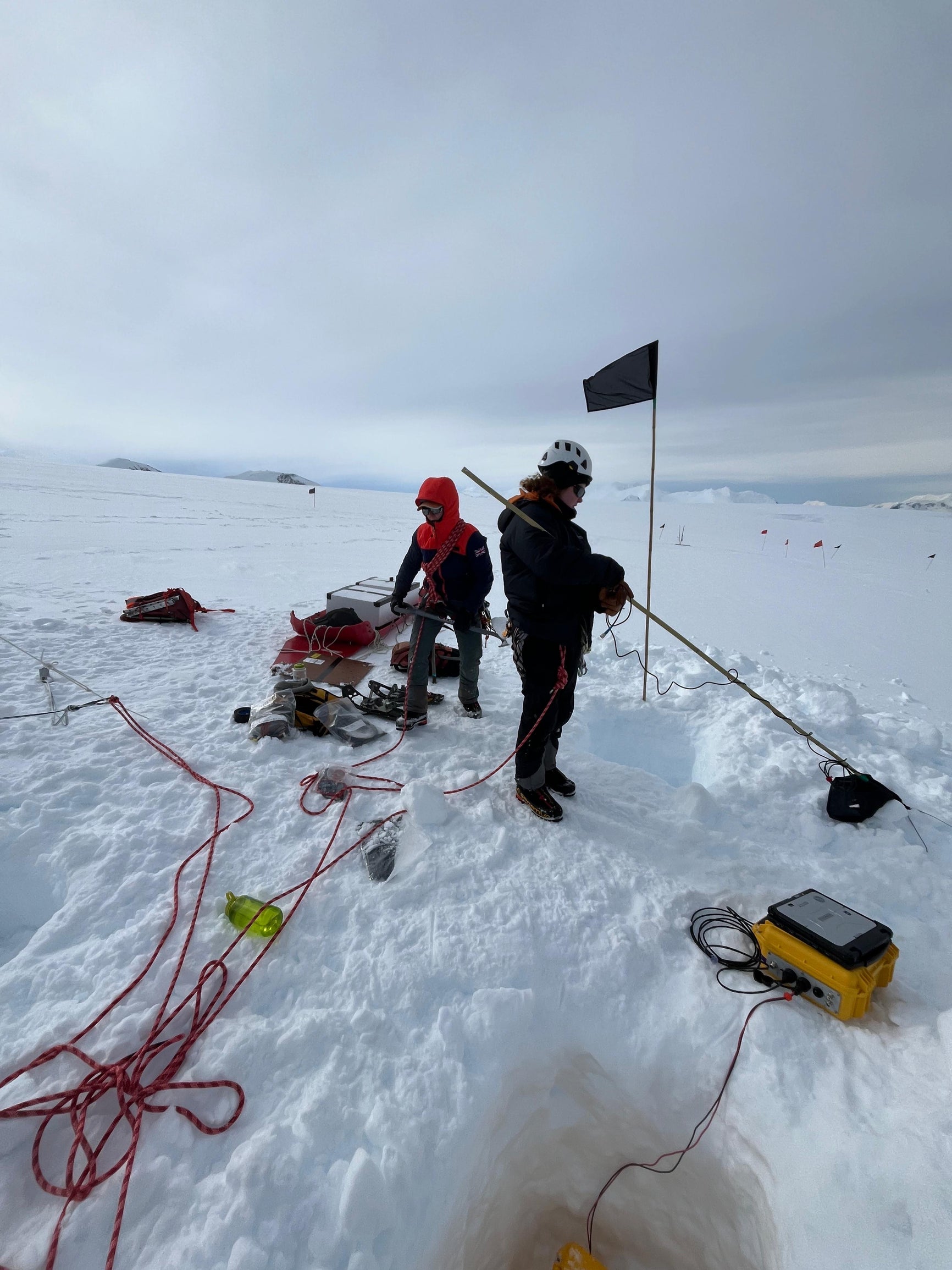
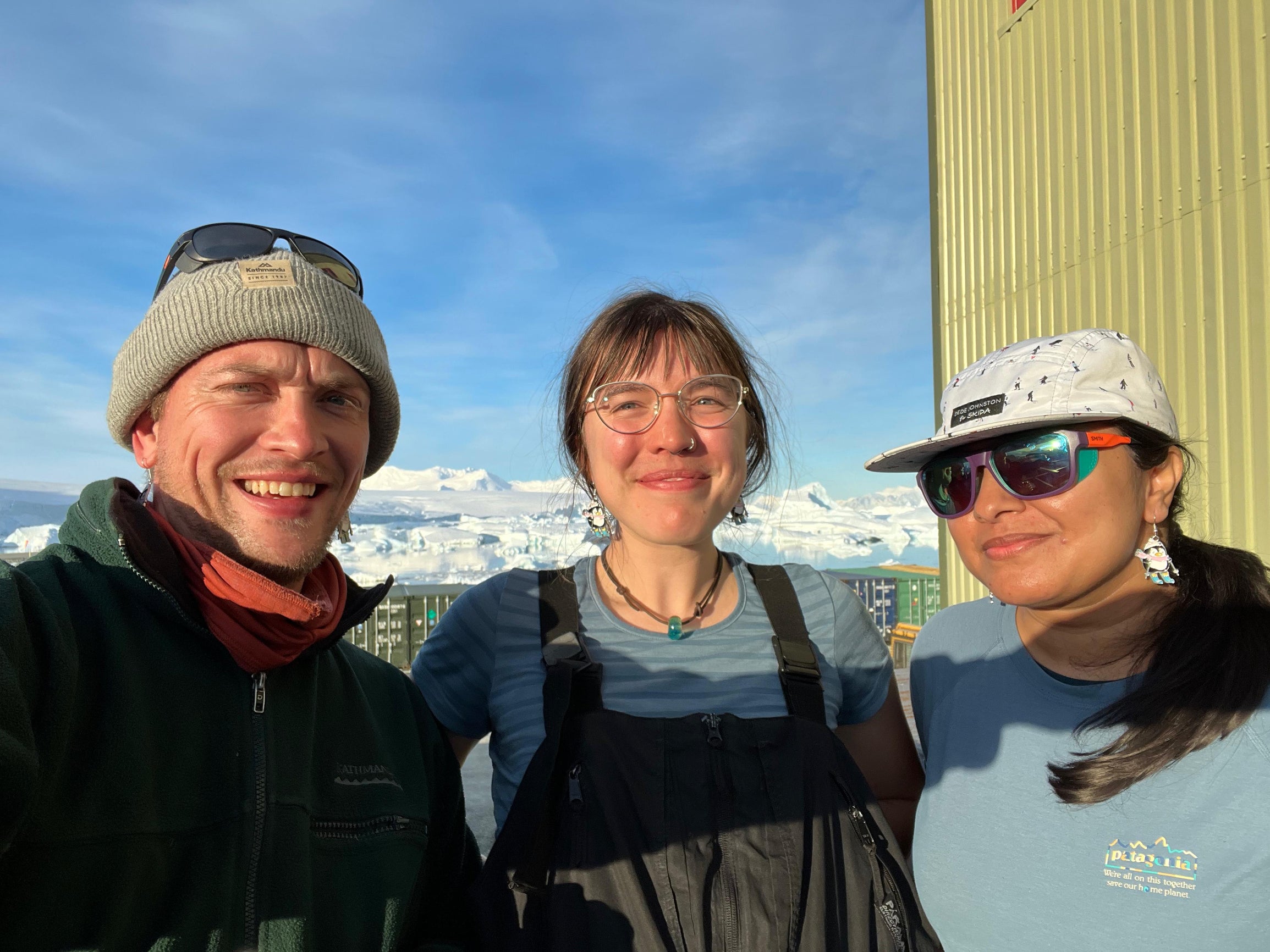
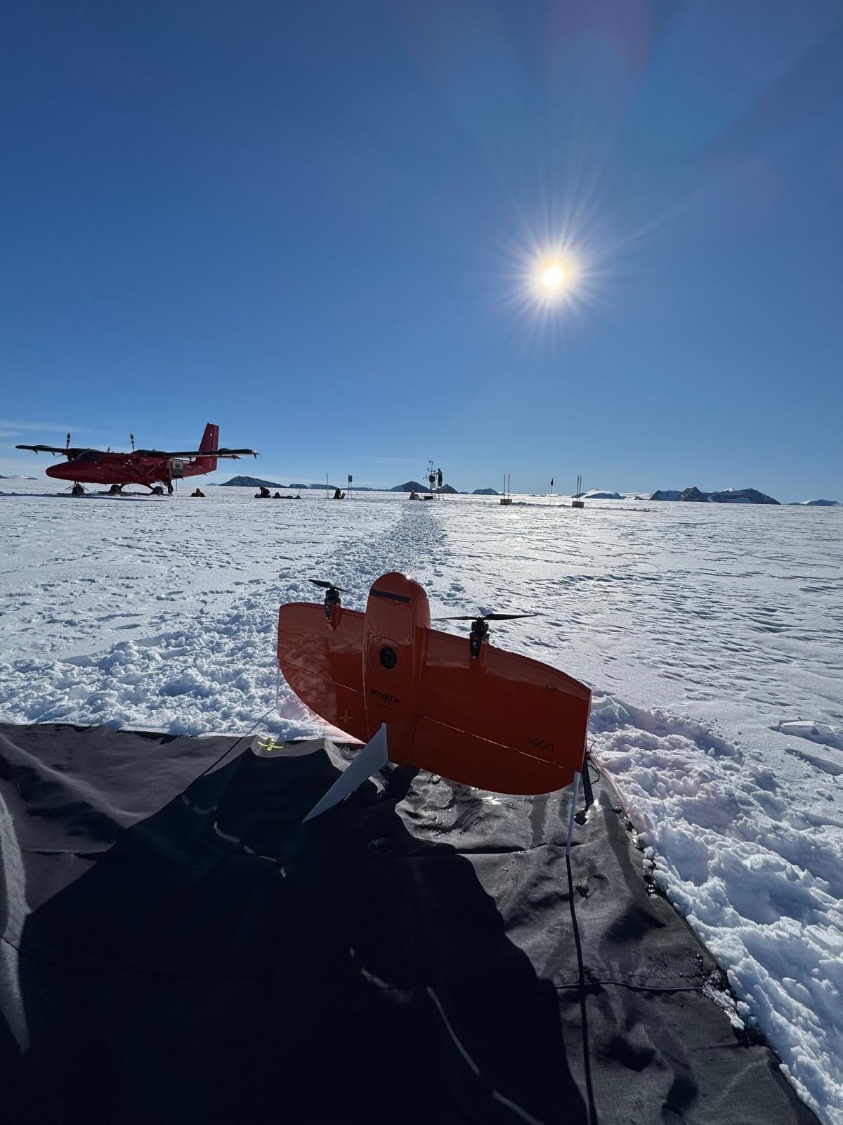
Along the way, Hoffman has collaborated with the British Antarctic Survey at Rothera Station on the Antarctic Peninsula, The Korean Program at Jang Bogo Station and served on the ground-based geophysical "GHOST" team as part of the International Thwaites Glacier Collaboration, collecting data one of the most rapidly changing ice systems on Earth.
Now at Rice, Hoffman is bringing his expertise to bear on regional environmental challenges. He was recently awarded a major grant titled "Shifting Land, Rising Seas: Forecasting How Human and Climate Drivers Shape Gulf Coast Sea-Level Futures". The project is part of a broader initiative funded by the Gulf Research Program of the National Academies of Sciences, Engineering, and Medicine to advance scientific understanding of sea-level variability across the Gulf region.
While melting polar ice sheets drive baseline sea-level rise across the globe, regional sea-level change along the Gulf Coast is strongly influenced by local processes. Hoffman’s research bridges these widely different spatial scales, connecting global ice mass loss with local land motion in Texas.
"There is an interesting symmetry between processes in Antarctica and the Gulf Coast," Hoffman notes. "In the Gulf, localized land subsidence due to groundwater extraction and soil compaction can reach up to 5 millimeters per year. That rate is remarkably similar to the projected rate of sea-level contribution of massive outlet glaciers in Antarctica. One driver is hyper-local; the other is thousands of miles away, but both shape our coastal future".
To address these interconnected challenges, Hoffman’s team will use Interferometric Synthetic Aperture Radar (InSAR) and high-precision Global Navigation Satellite Systems (GNSS/GPS). These tools allow researchers to track millimeter-scale land subsidence and surface displacement resulting from hydroclimate changes, soil compaction, and resource extraction across coastal Texas.
The project also stands out for its interdisciplinary collaboration with Rice social scientists and researchers associated with EcoStudio and the Center for Coastal Futures and Adaptive Resilience (CFAR). Expected outcomes of the project include detailed land movement maps, improved sea-level rise forecasts, and interactive visualization tools that help city planners, local leaders, and coastal residents make informed decisions about flood protection and infrastructure.
Classroom Innovation and opportunities for student engagement
For undergraduate and graduate students at Rice, Hoffman’s arrival also brings new hands-on research opportunities. Beginning in the spring semester, he will teach EEPS 325: Oceans, Atmosphere, and Climate, bringing real-world earth science data into the classroom.
Hoffman looks to enhance the department’s modern geophysics curriculum with courses that center on experiential learning. Students will get direct experience deploying precision GNSS receivers, operating ground-penetrating radar equipment, and analyzing spatial satellite data to evaluate local geohazards right here in the Houston area.
"My goal is to create opportunities for students to practice core skills on local problems," says Hoffman. "By learning how to collect and process data to assess local geohazards, students build technical skill sets that translate directly to research problems anywhere in the world".
Beyond technical training, Hoffman puts heavy emphasis on lab culture, science communication, and human well-being. Drawing from his experiences living in remote polar field camps in small teams, he understands that scientific productivity requires a supportive, empathetic community.
Now settling into Houston, Hoffman is enjoying exploring the city's world-class culinary scene and local coastal ecosystems. Whether mapping ancient ice deep beneath the Antarctic interior or measuring coastal land movement along the Texas shores, EEPS own radioglaciologist represents an exciting, forward-looking addition to the Rice academic community—offering students a front-row seat to the future of climate science and environmental geophysics.