
By Linda Welzenbach Fries
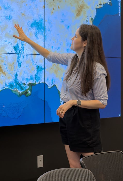
EEPS assistant professor Noemi Vergopolan is leading a multidisciplinary team that will develop an innovative artificial intelligence (AI) framework to detect irrigation and soil water conditions at the farm-field scale across the United States.
Quantifying large-scale agricultural water use is one of the most complex challenges in water resources management. To address this, EEPS assistant professor Noemi Vergopolan and Guha Balakrishnan, an assistant professor in electrical and computer engineering, in a first of its kind multidisciplinary team, were awarded a three-year grant from the National Science Foundation’s Collaboration in AI Geoscience (NSF CAIG) program.
The project, titled "Implicit Neural Fields for Physics-Informed Assimilation of Satellite Irrigation Signals," will develop an innovative artificial intelligence (AI) framework to detect and quantify irrigation and soil water conditions at the farm-field scale across the United States. “Irrigation is vital for global food security, yet tracking water withdrawals across diverse agricultural landscapes remains difficult,” says Vergopolan. The CAIG project aims to tackle that challenge by building a physics-informed AI framework that combines disparate data from multiple satellite sources—such as thermal and radar microwave sensors for surface temperature and topsoil moisture—with high-resolution physics-based land surface models.
By processing these satellite data streams, the team plans to estimate at daily, 30-meter resolution surface and root-zone soil moisture, soil temperature, and specific irrigation water amounts across the continental U.S. Notably, by analyzing the spatial patterns encoded in satellite observations, their approach will disentangle human-applied irrigation from natural hydrologic events, such as rainfall or lateral water flow contributions in floodplains.
The initiative grew directly from cross-collaborative efforts fostered by the Ken Kennedy Institute’s research clusters at Rice University. While individual clusters are already interdisciplinary, the CAIG project brought together the Multimodal Geosensing AI for Earth System Discovery cluster led by Vergopolan, with Guha Balakrishnan who is leads the Multimodal Agentic Perception and Learning (MAPLE) cluster.
The idea took shape months before submission as the two researchers identified a shared passion for bridging satellite remote sensing gaps with advanced computer vision techniques.
"This project was truly trying to advance both fronts of AI and geoscience... It came up from conversations about ideas on how we can better integrate geosciences and AI with Guha and his research is on computer vision, and mine is on remote sensing and land surface hydrology" said Vergopolan.
A central challenge in satellite remote sensing is that different sensors observe the Earth at varying scales, pass over at different times of day, and measure distinct physical properties. Thermal sensors identify cooling signals associated with irrigation fields at fine spatial resolution but infrequent revisit, while microwave sensors estimate topsoil moisture more frequently but at coarse spatial resolutions.
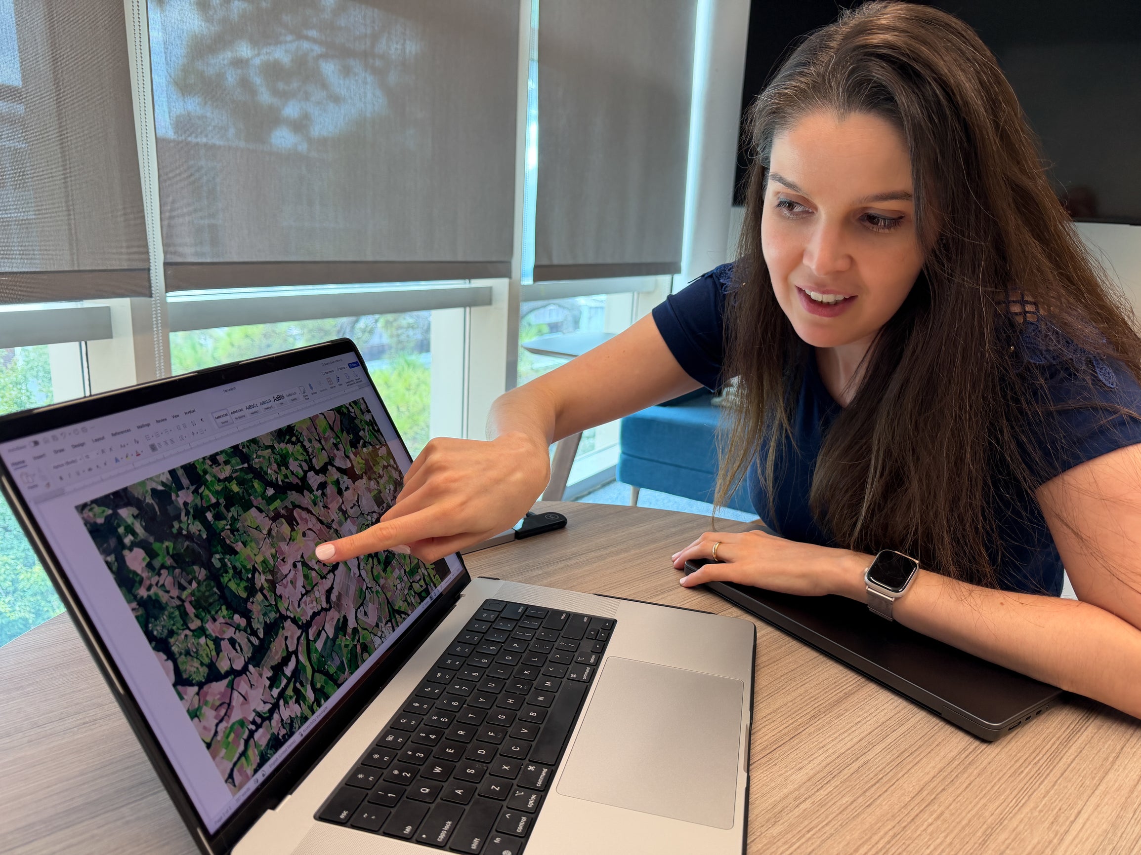
“Picture trying to build a single map using photos taken by different cameras: some are blurry wide-angle shots from far away, others are sharp close-ups of tiny areas, and all of them were taken at different times of day,” says Vergopolan of the challenges of working with variable data sources. “We will build a framework that translates and unifies the data and fills in the gaps.”
Balakrishnan’s lab provides key AI innovations to reconcile these disparate data streams and allows the team to merge temperature, radar, and soil moisture measurements into seamless, high-resolution representation by leveraging Implicit Neural Fields.
While Balakrishnan’s team drives the multimodal data fusion side, Vergopolan’s team integrates physical hydrologic laws to extend the surface moisture and temperature observations into the root zones to reconstruct deeper soil moisture
Potential Impacts, Policy, and Educational Outcomes
The project’s deliverables—including benchmark datasets, open-source software, and daily 30-meter resolution water maps—will offer major societal benefits. Accurate water accounting is essential for guiding regional water policies, establishing fair water rights, and managing agricultural water restrictions during severe droughts.
The project also connects with major external stakeholders, including the USGS-funded OpenET consortium, which maps evapotranspiration across agricultural regions. By offering high-resolution soil moisture data, the Rice framework will help refine national evapotranspiration models.
"Humans are part of the water cycle right now," Vergopolan emphasized. "Our goal is to first advance a water accounting approach to better understand how much water we have and where. Second, how much water is being used... these are initial steps to eventually lead to a change in how we use water."
Additionally, the NSF CAIG grant directly supports graduate training at the intersection of Earth science and scientific AI, funding two graduate students over three years to prepare the next generation of researchers in sustainable geosensing and AI.